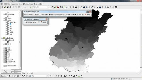
EC-GeoHMS is a program that has been developed as a geospatial hydrology toolkit for engineers and hydrologists with limited GIS experience. It uses ArcGIS and the Spatial Analyst extension to develop a number of hydrologic modeling inputs for the Hydrologic Engineering Center's Hydrologic Modeling System.
A platform designed to facilitate rigorous spatial analysis and modelling.

ArcGIS extension with geospatial analysis capabilities for mlitary applications.


Comments (6)