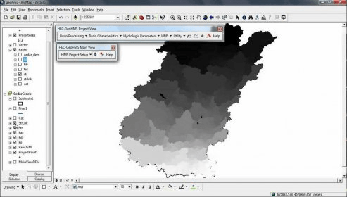
HEC-GeoHMS is a free GIS extension that provides the user with a set of procedures, tools, and utilities for the preparation of GIS data for import into HEC-HMS and generation of GIS data from HMS output. The GIS extension has a user friendly interface.
A platform designed to facilitate rigorous spatial analysis and modelling.

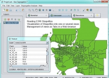
ArcGIS extension with geospatial analysis capabilities for mlitary applications.


Comments (6)